Niagara Falls
This was a three day weekend trip. We knew we could drive to Niagara Falls within a short day. We hit Presque Isle on the way there, crossed over to the Canadian side, did the tourist thing - riding on the Queen of the Mist. On the way back we hit Fort Ticonderoga, Johnstown, and Punxsutawney.
These pictures are really, really poor! They were, I think, the last pictures taken with film and my old SLR. Further damage was done as I sent the film ( certainly not Kodacrome !) away for digital processing. These were the early days and the digital renditions reflect the beginning f the learning curve. These are yet to be organized; I haven't even compared and eliminated duplicates.
~ ~ ~ ~ ~ ~ ~ ~ ~ ~ ~ ~ ~ ~ ~ ~ ~ ~~ ~ ~ ~ ~ ~ ~ ~ ~ ~ ~ ~~ ~ ~ ~
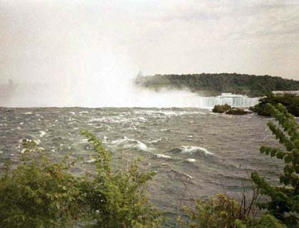
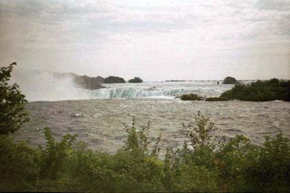
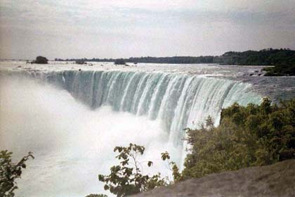
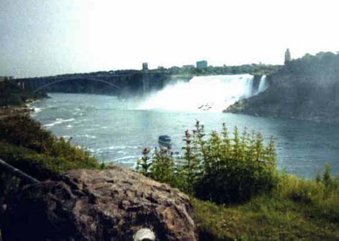
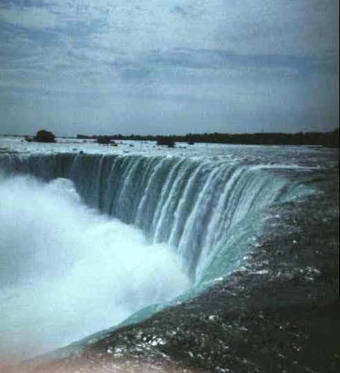
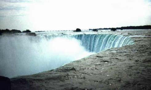
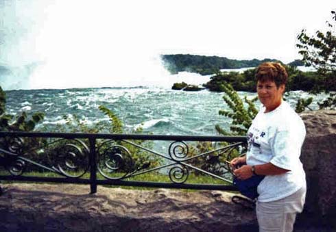
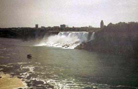
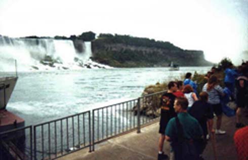
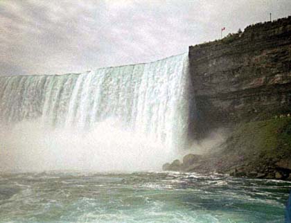
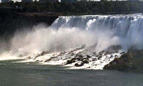
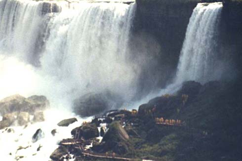
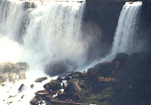
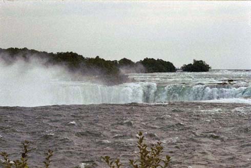
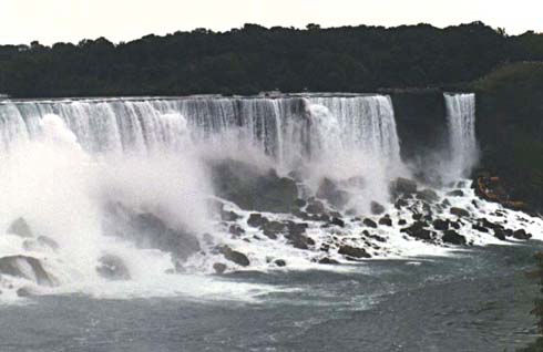
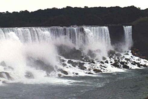
Our first views of the fall were from a couple miles away. We had a map which showed a river-side road to take from the entrance to Canada to the falls. After two tries we found it, and it was worth the initial floundering around. As we said, on this road, from several miles away we could see the mist rising from the falls. The closer we got, the more prominent it became.
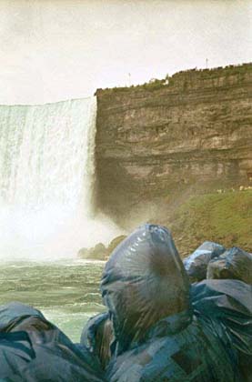
After paring, we started walking to the falls and these pictures are indicative of the first views we had.
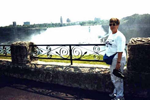
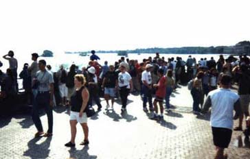
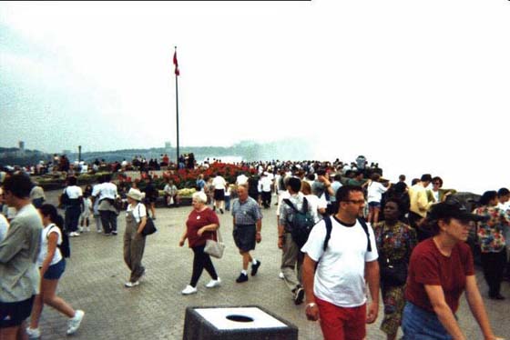
No, we were not alone
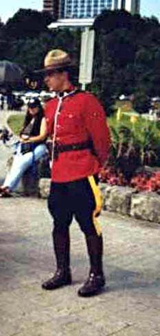
But the Mounties were there to keep everything in order
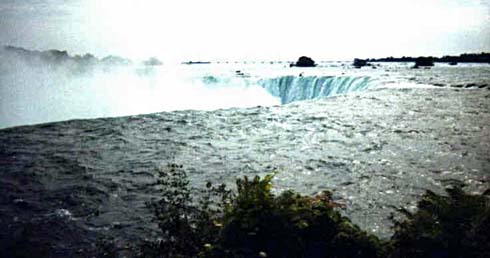
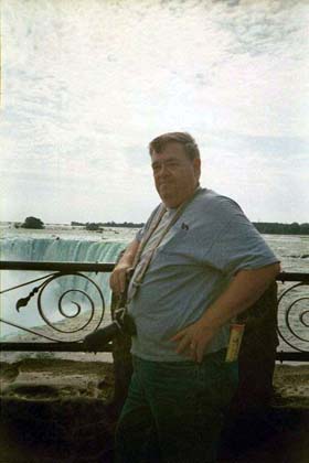
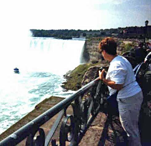
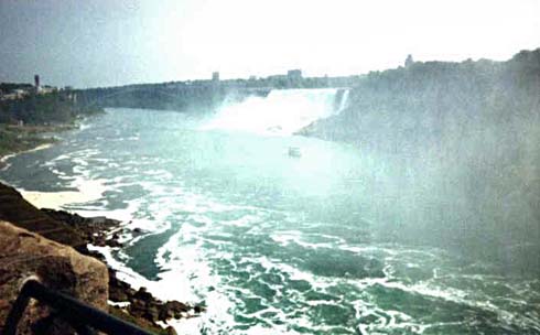
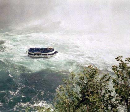
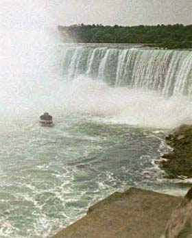
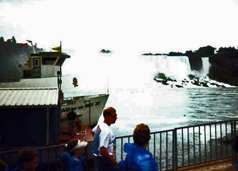
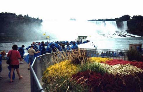
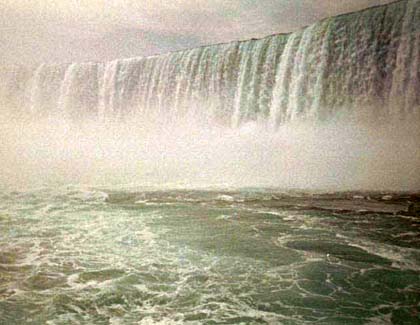
Of course, we saw the Maid of the Mist down below. We were very surprised at how close it got to the falls - watching it was like waiting for an accident to happen .
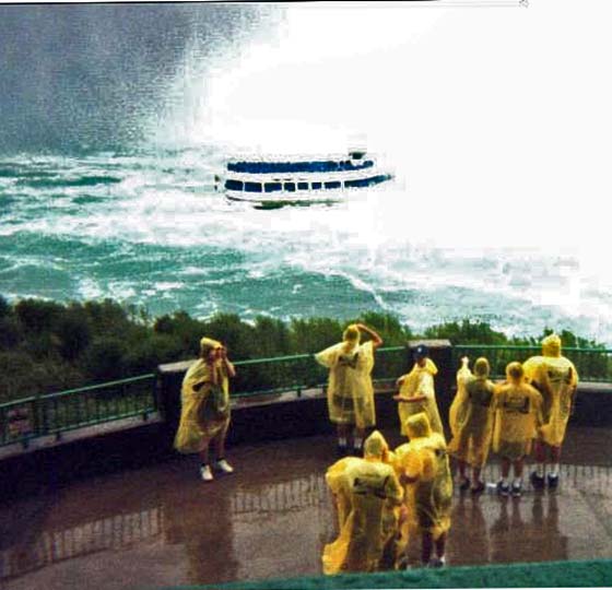
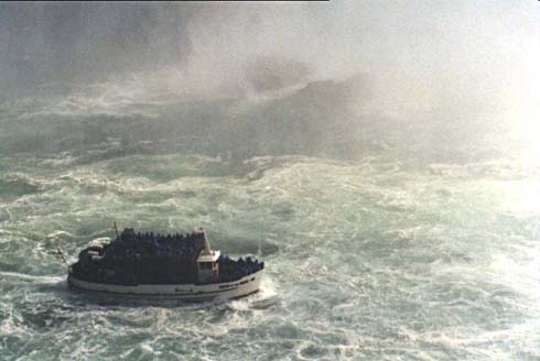
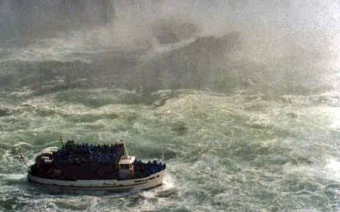
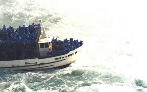
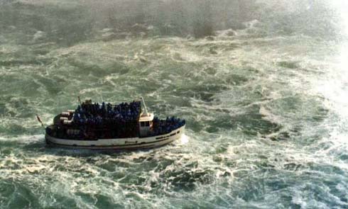
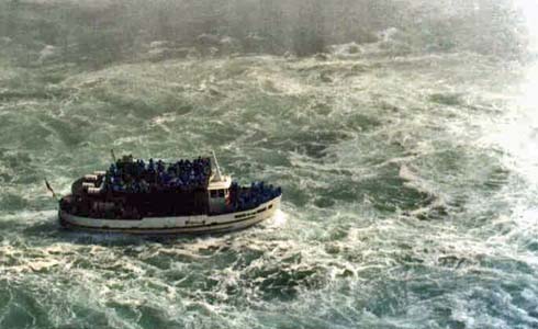
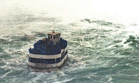
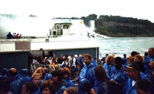
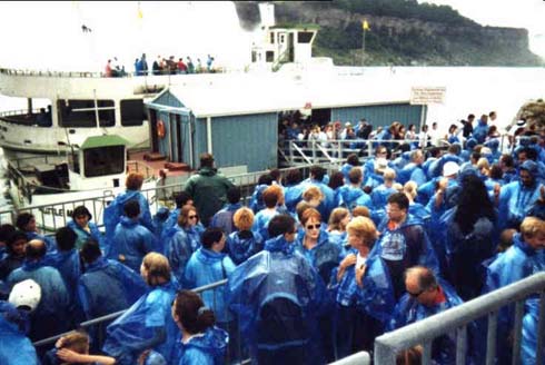
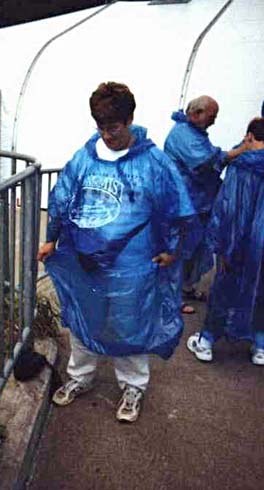
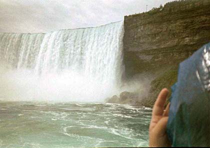
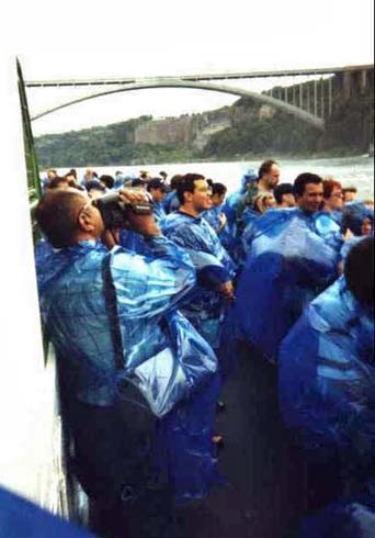
So, on to the Maid of the Mist we went. Had to get in line to buy a ticket, reform the line for a rain coat, and then reform the line to get on the boat, then in line to get out. We were fortunate to get near the front. It seemed the whole time Jackie as covering her face and cranky about all the water - I spent the whole time laughing. don't know why I laughed - but couldn't stop. Because of all the mist, I got few pictures, but a lot of memories. I laughed a I wrote this....
Getting closer and closer to the falls
 See
the folks in yellow rain coats? Soon will be us
See
the folks in yellow rain coats? Soon will be us
I'm not the only one taking pictures and getting their cameras soaked
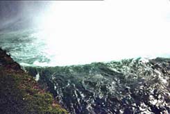
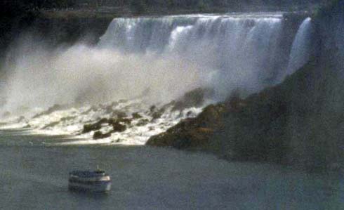
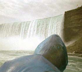
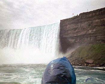
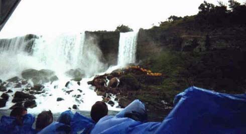
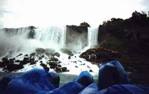
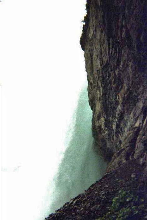
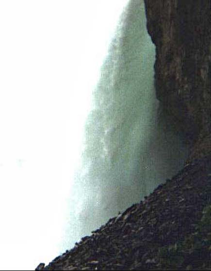
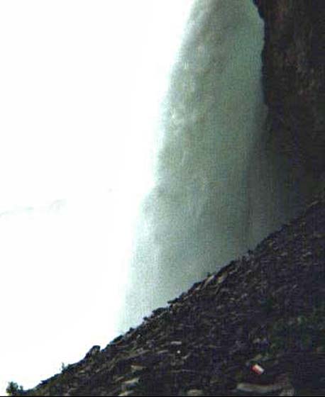
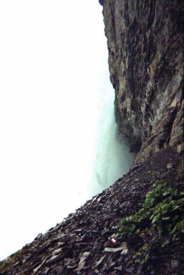
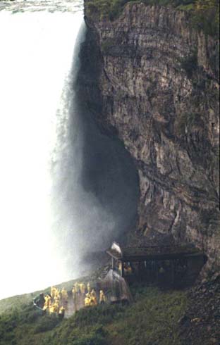
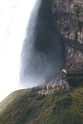
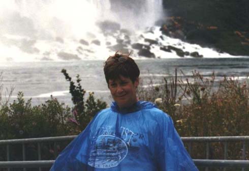
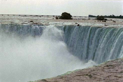
After the boat ride, we went down stairs and tunnels to see the falls from a much lower perspective. Glad we had the new yellow rain coats as seen earlier from the Maid.
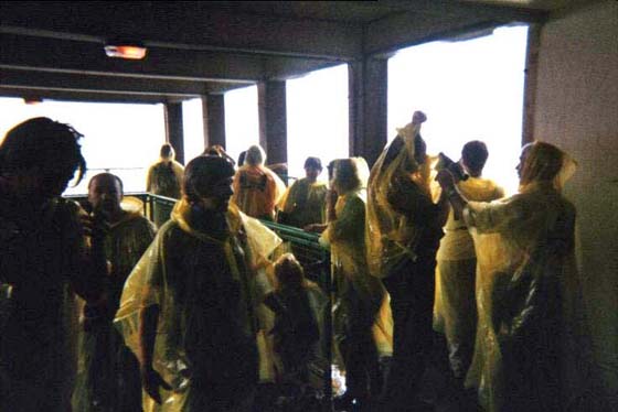 Again
with the rain coats
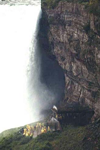
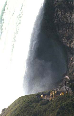
Again
with the rain coats
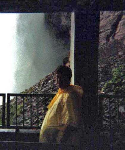
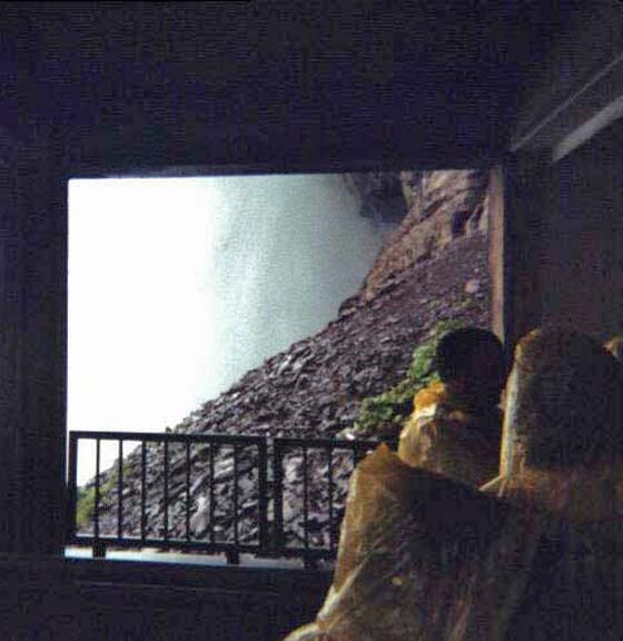
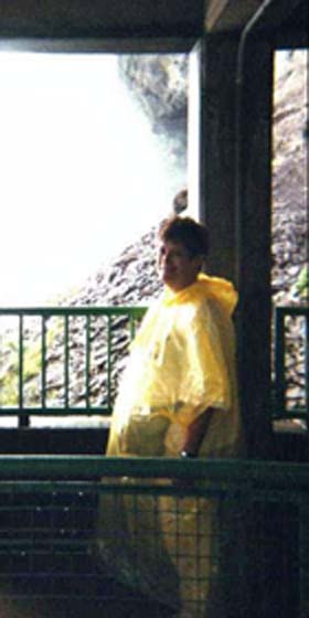
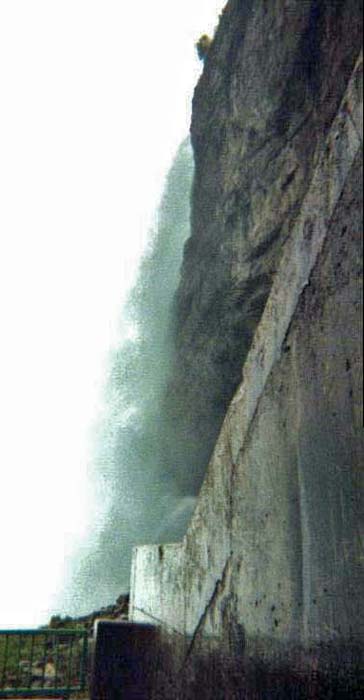
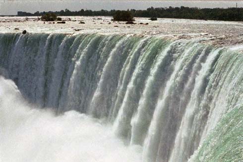
That water simply thunders - can't hear a word

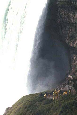
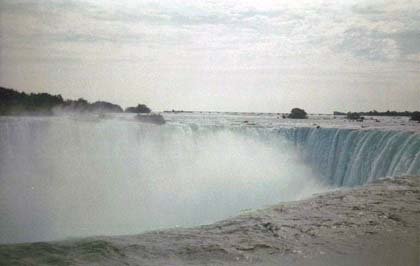
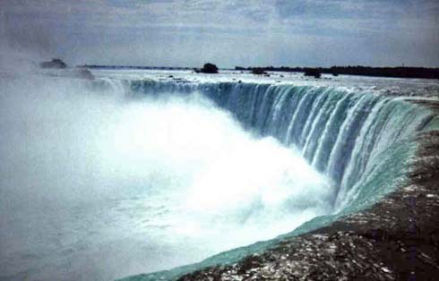
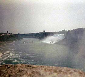
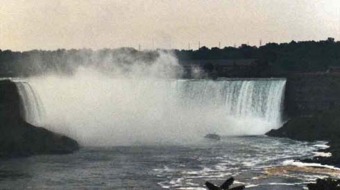
More shots of the falls. They are lighted with colored spotlights at night, but try as we might,
we couldn't get a shot. A shame - a real show.
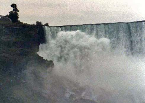

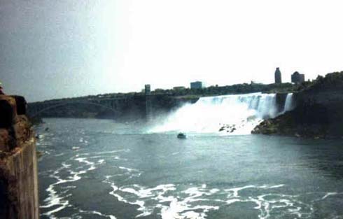
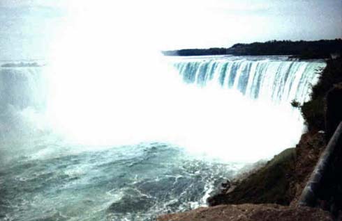
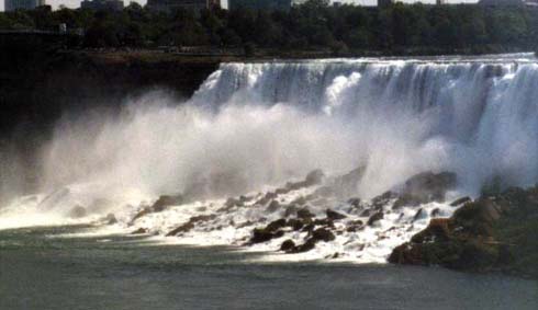
The Canadian side
The American side
The only night shot I got; none-the-less, a good subject
Yes, there's other colorful things than just the falls
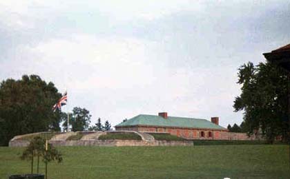
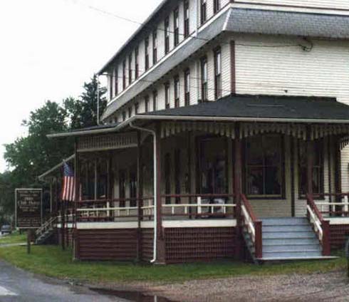
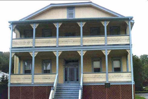
On to Fort Ticonderoga
Jackie, ever the history buff, wanted to see the fort. I was overjoyed because years before, I found if you took a back road to its end, there was one of the few cable ferries left in the US to ride across. No - Jackie didn't like it at all!
As to the fort, here's a bit of information:
Fort Ticonderoga is where American Liberty begins! For a generation this remote post on Lake Champlain guarded the narrow water highway connecting New France with Britain's American colonies. Whichever nation controlled Ticonderoga controlled America and the struggle to keep or capture Ticonderoga resulted in one of the bloodiest battles in American history. During the American Revolution Fort Ticonderoga was the scene of America's first victory in its struggle for independence and the United States' northern stronghold protecting New York and New England from British invasion from Canada.
Fort Ticonderoga, originally Fort Carillon, was built by the French military between 1755 and 1759. One of a series the French built to control Lake Champlain. The site looks over Lake Champlain at a point where it narrows and the shore of Vermont is a mere cannon shot away. It is at this point, too, that the waters from Lake George enter Lake Champlain via the La Chute River. Control of this strategic narrows meant control of the north-south water "highway".
At the outset of the American Revolution a small company of British soldiers still manned the Fort. On May 10, 1775, Ethan Allen, Benedict Arnold, and the Green Mountain Boys crossed Lake Champlain from Vermont and at dawn surprised and captured the sleeping garrison. This was the first American victory of the Revolutionary War. From then until July 1777, Fort Ticonderoga served as an important staging area for the American Army while invading Canada and holding the territory against the British forces.
During the summer of 1776 a fleet of small warships or gondolas where rigged and fitted out at Mount Independence. This fleet under the command of Benedict Arnold fought the Battle of Valcour Island on Lake Champlain in 1776. In July 1777 the British General Burgoyne managed to place cannon on Mount Defiance and forced the Fort's garrison under General Arthur St. Clair to evacuate on July 6th. In September 1777 a small American force conducted the final raid on the Fort attempting to retake it from the British. The British finally abandoned the Fort in early November following the surrender of the British army at Saratoga.
Today, Fort Ticonderoga educates people from all nations on the events that took place here that changed the course of world history forever. Engaging exhibits, lively interpretive programs and insightful seminars keep Ticonderoga's history alive. Come, experience for yourself, the stories that helped make America free at America's Fort, Fort Ticonderoga!
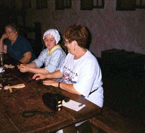
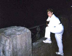
Unfortunately the weather was really crappy - as were my camera skills. With all the sights, displays and historically dressed guides, I saved only one picture - Jackie talking with one of the guides.
Presque Isle
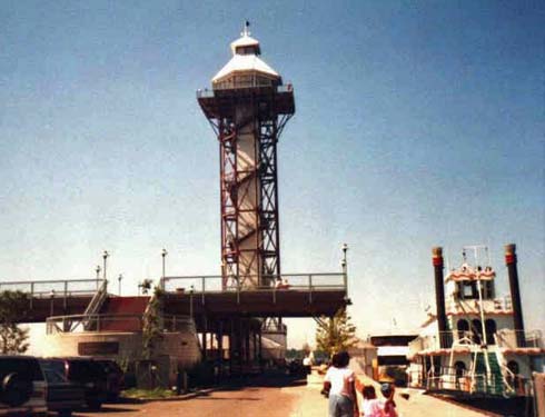
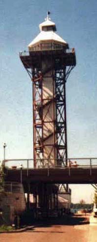
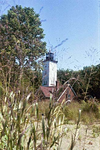
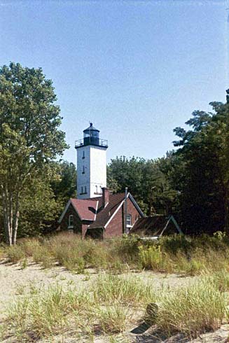
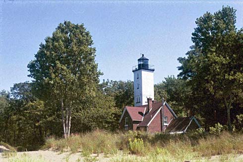
Never heard of Presque Isle? Well, neither had we. We saw a sign as we drove up to Niagara and stopped in. What a terrific choice. The place is beautiful. There are seemingly miles of biking and walking available. The shoreline is just perfect. After driving along a beautiful park road, we pulled up to this tower. For a bit of information about Presque Isle, read the following:
"Presque Isle State Park is a 3,200-acre sandy peninsula that arches into Lake Erie. As Pennsylvania's only "seashore," Presque Isle offers its visitors a beautiful coastline and many recreational activities, including swimming, boating, fishing, hiking, bicycling and in-line skating. A National Natural Landmark, Presque Isle is a favorite spot for migrating birds. Because of the many unique habitats, Presque Isle contains a greater number of the state's endangered, threatened and rare species than any other area of comparable size in Pennsylvania."
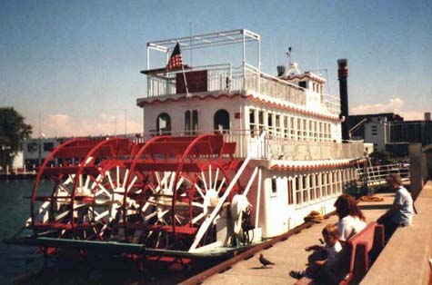
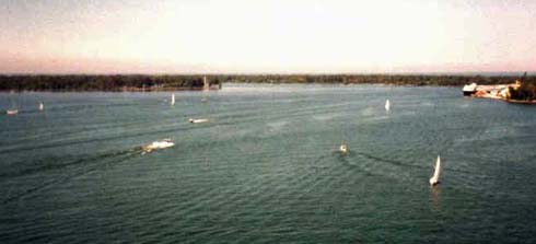
As you see, there are attractions and great boating.
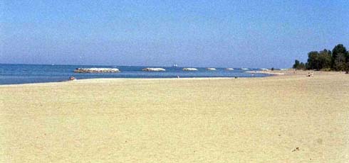
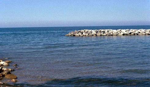
Terrific Beaches
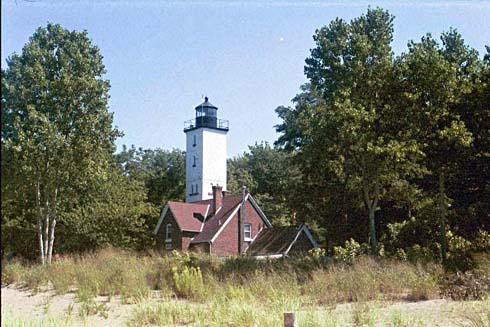
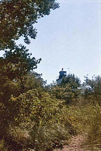 An
outstanding and very picturesque lighthouse
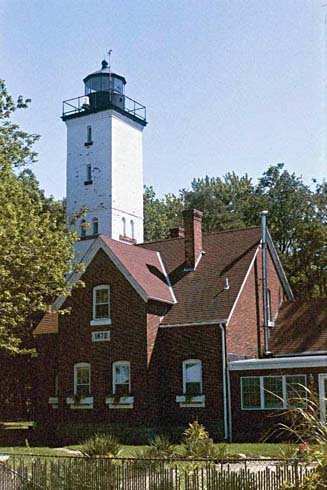
An
outstanding and very picturesque lighthouse
While at the top of the tower, we again proved two things: timing is everything and I should never be responsible for taking pictures!
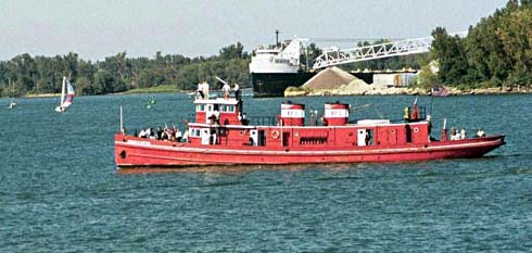
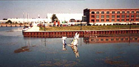
We saw a crowd gathering down on the dock area and the number of boats was growing. We were joined by a crowd on the tower overlooking the inlet. Along comes a "great ship" under sail, with crew up on the cross bars. It was the ____________ Lake Erie??. It had been gone for two years, sailing o Europe and back. All these folks had gathered to welcome it home. A fireboat met the ship and sent an arch of spray over the ship. That fireboat, seen below, is the oldest working fireboat in the world!
We left Presque Isle with a flag we fly occasionally on our home flag pole, and a promise to again visit.
Johnstown
The name "Johnstown" brings about stories of horror. As you read below, you'll recall what you may have been told in school:
"There was no larger news story in the latter nineteenth century after the assassination of Abraham Lincoln. The story of the Johnstown Flood has everything to interest the modern mind: a wealthy resort, an intense storm, an unfortunate failure of a dam, the destruction of a working class city and an inspiring relief effort.
On May 31, 1889, a neglected dam and a phenomenal storm led to a catastrophe in which 2,209 people died. It's a story of great tragedy, but also of triumphant recovery. Visit the Johnstown Flood Museum, which is operated by the Johnstown Area Heritage Association, to find out more about this shocking episode in American history.
Johnstown had been built into a
river valley on the Appalachian Plateau. The Little Conemaugh and the Stony
Creek Rivers, which ran along the peripheral of the town and merged to form the
Conemaugh River at the western end, drained a 657 square mile watershed which
dropped in the rivers from mountains 500 feet above. At least once a year,
one or both of the rivers overflowed into the streets sending the town's
residents into a scurry to protect what they could of their homes and
belongings.
The South Fork dam held back Lake Conemaugh, the pleasure lake of the South Fork
Fishing and Hunting Club, a prestigious club which included such famed
entrepreneurs as Andrew Carnegie and Henry Clay Frick on its membership
rolls. Officials there feared the dam would fail. Since midmorning, they'd
worked to avoid this, because they feared the consequences. The lake was a
little over two miles long, a little over a mile wide at its widest spot, and 60
feet deep at the dam itself.
By a little after 3 p.m., when most people in Johnstown were settling in to be
marooned for the evening, club officials and the laborers they recruited, as
well as a good sized audience from the little community of South Fork just below
the dam, watched in dumbfounded horror as the dam "just moved away. "
Within the hour, a body of water which engineers at the time estimated moved
into the valley with the force of Niagara Falls, rolled into Johnstown with 14
miles of accumulated debris, which included houses, barns, animals and people,
dead and alive.
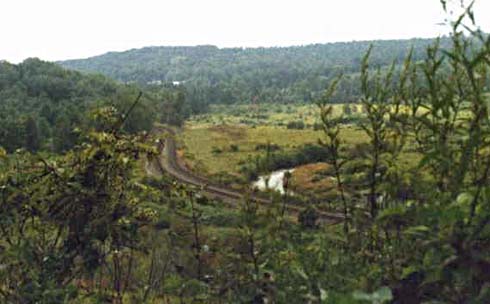
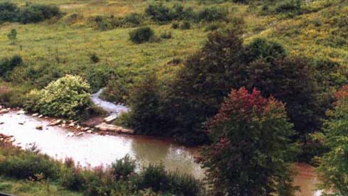
Below you see the seemingly small river
which fed the dam, and the one side of the dam which remained after the dam
washed away.
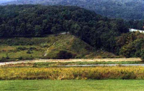
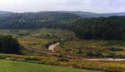
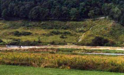
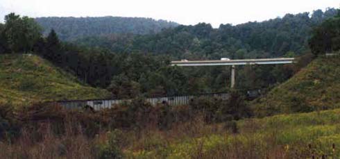
There is now both a bridge and a railway across and through the valley.
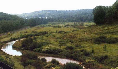
Its very difficult for me to visualize the dam from its remains and the amount of water released from the wandernig river.
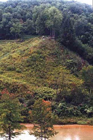
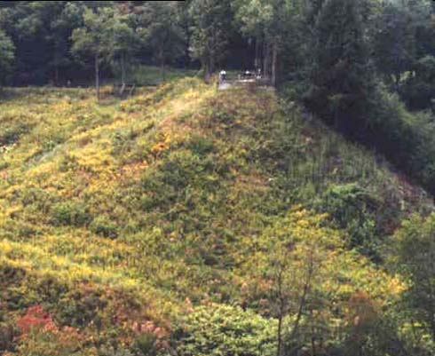
The area was owned by very rich people as a private rest and lake.
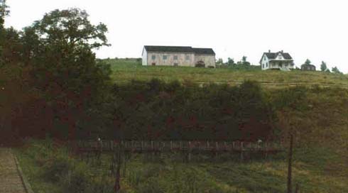
Many of the homes on the hills surrounding the valley were there when the flood occurred.
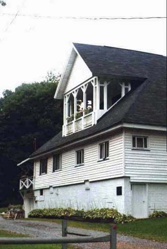
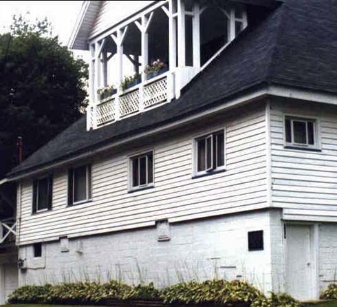
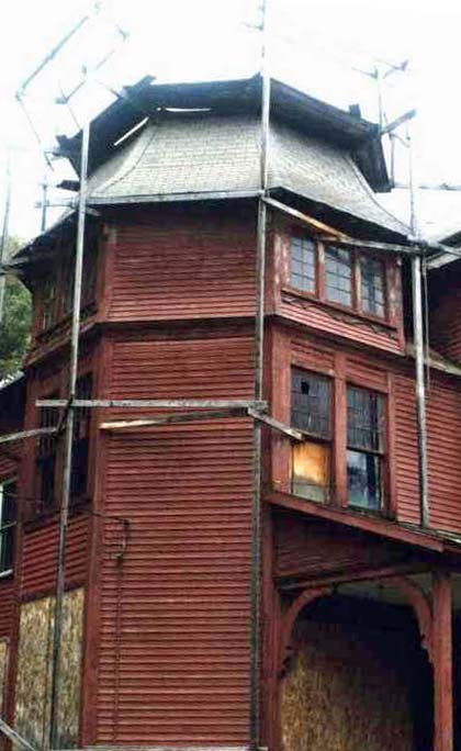
Some, like the one above are being extensively rebuilt.
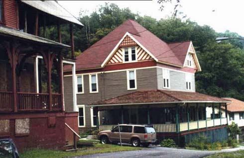
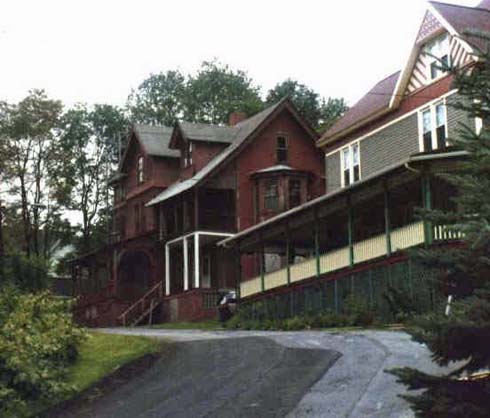
There are a few newer less ostentatious homes there now, as well as a number of the grand old homes in need of repair.
If visiting, take a moment to ride through Johnstown and try to reconcile what you will see in the museum with what stands now - given the town was simply erased by the flood.
Simply do not leave Johnstown without visiting the Johnstown Flood Museum. It is complete with pictures, stories and replicas and almost life size mockups of the ravages of the flood. A very sobering experience.
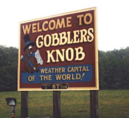
Punxsutawney
We concluded our trip with a stop at Punxsutawney. Surely you heard of Patuxy Phil - the weather forecasting groundhog? Well, perhaps not, but surely you'd think the folks in town would both know all about the spring time ritual and attempt to profit from it.
When we got to town we stopped a two or three places to get some cute and ridiculous souvenirs. There were literally none to be had. and further, in two of the three places we stopped, they could not tell us where the famous location of the groundhog event was.
As luck would have it, the last place wed stopped told us to drive east (I think) and look for a certain road. We saw what we thought was the road and it did have a sign. I almost think I remember groundhog footprints having been painted of this road.
Again, timing is everything - as we looked up at this sign, a flock of maybe twenty wild turkeys walked across the field and then the road in front of us. I guess this really is a Gobbler's knob!
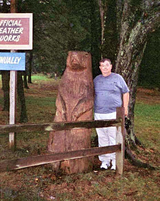
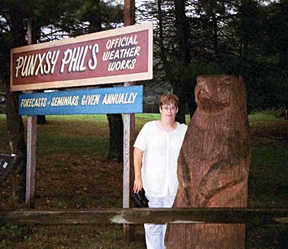
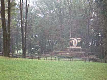
As you might expect, there was nothing there at this time of year. It offered a quiet and damp (it was sprinkling) walk around the top of the knob and a large chainsaw carved groundhog with which to be photographed - no souvenirs, so we had to have something to prove we had been there! Down the hill a ways was the stage and viewing stand where Patuxy Phil takes over the show. As it was now raining, we simply took a long distance picture and went our way.
A nice long weekend trip. The short duration was made up by so many laces being within driving range. We enjoyed the trip, the views and the memories. As said earlier, we do want to go back to a couple places to send more time. I guess if we still lived in Boonsboro we would, but adding a thousand miles to the drive makes us less enthusiastic.
Journal
A Thank You to both the Jamestown and Ticonderoga websites for providing information forwarded on these pages.